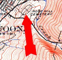
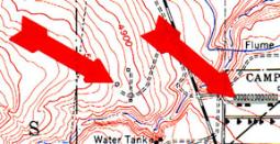
| Map Symbols, Page 1 Second Class Requirement (1a-part 2): Explain what map symbols mean |
| Green Symbols: indicates forests, woodlands, orchards, and other areas of heavy vegetation. Blue Symbols: always means water: lakes, ponds, rivers, streams, water well, marshes... Black Symbols: on a map is the work of humans: buildings, railroads, bridges, boundaries, names ... White Symbols: are mostly clear of trees: fields, meadows, rocky slopes, other open country... Brown Symbols: are used for Contour lines and elevations... Red: is used for larger, more important roads and surveying lines... Purple is for Overprinting: Revisions added from aerial photographs but not yet field-checked... |
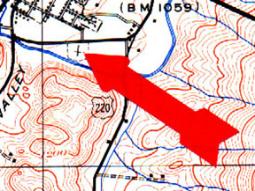
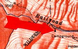
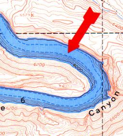
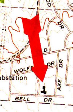
| Identify the map symbols pointed to by the arrow. Click on the map image for the answer. |
